

Click on the Edit Content button to edit/add the content.

Drone Software Integration

Smart Software Connectivity

Built for Advanced Drone Software Integration

Real-Time Data Sync

Connect drone systems with software platforms for instant data transfer and workflow management.

Cloud Data Storage

Store aerial data securely for easy access, sharing, and long-term project management.
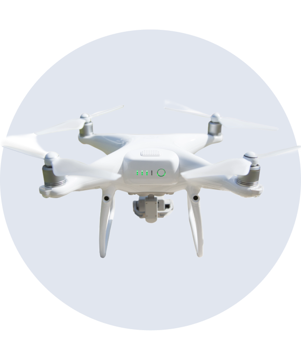
Flight Planning Integration

Plan routes, monitor missions, and control drone operations through connected software tools.
System Compatibility

Integrate with mapping, inspection, analytics, and monitoring software platforms seamlessly.

Smart System Connectivity

Designed for Seamless Drone Software Integration

Advanced Software Support for Drone Operations

Drone software integration helps connect drones with mapping, monitoring, analytics, and flight management platforms for improved operational control. Integrated software allows users to manage missions, track flight data, and organize aerial information through a centralized digital system.

This improves workflow efficiency and supports accurate data handling.With connected software solutions, drones can process real-time information, automate flight planning, and store aerial data securely. 

 
Real-Time Monitoring

Track drone activity and mission progress through connected software systems.

Flight Planning Tools

Create automated routes and manage operations more efficiently.

Data Management

Store, organize, and access aerial data through integrated platforms.

System Compatibility

Connect with mapping, analytics, and inspection software easily.
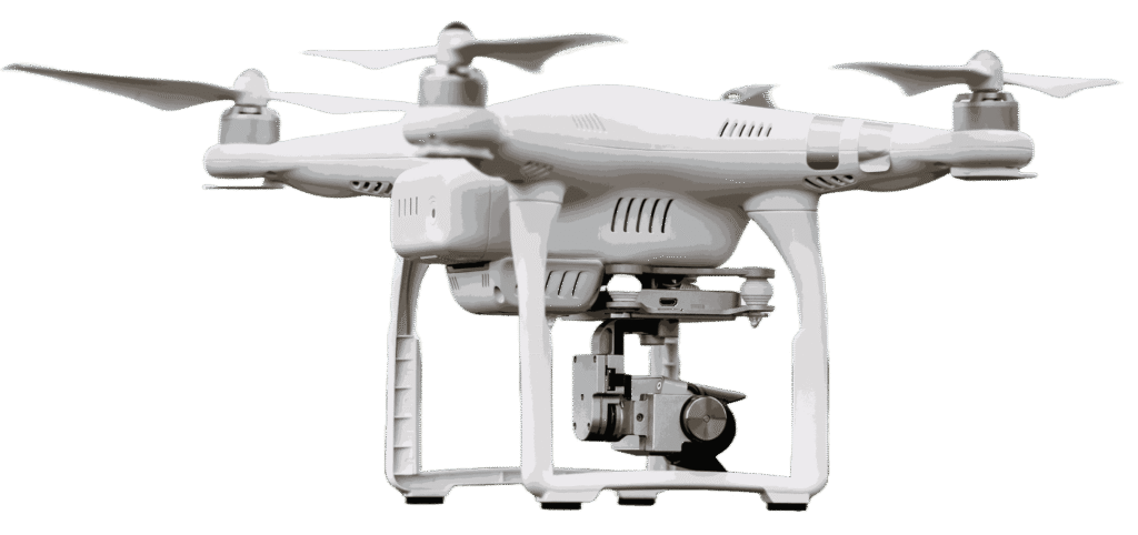
Connected Flight Technology

Drone Software Integration

Designed for Connected Drone Operations

Drone software integration helps connect drones with digital platforms for flight control, monitoring, and aerial data management. Integrated systems allow users to plan missions, track performance, and organize captured information more efficiently.

With advanced software connectivity, drones support real-time updates, automated workflows, and secure data storage. These tools improve operational accuracy while making drone management easier across mapping, inspection, and monitoring projects.

Aerial Shots Captured
0 K+
Hours of Flight Time
0 K+