Click on the Edit Content button to edit/add the content.
Emergency Disaster Mapping
Emergency Disaster Mapping Solutions
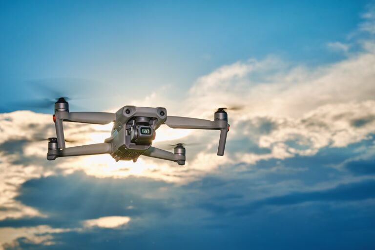
Emergency disaster mapping uses drone technology to capture real-time aerial data during natural disasters and emergency situations. Drones help map affected areas quickly, providing clear visuals of damaged infrastructure, blocked routes, and high-risk zones. This supports emergency teams in understanding the situation more accurately.
Drone-based disaster mapping also improves rescue planning and response coordination through detailed aerial imagery. High-resolution maps help identify safe access routes, monitor affected regions, and support recovery operations. These solutions provide reliable information for faster decision-making during critical events.
Core Solution Advantages
Improve monitoring and operational efficiency.
Capture accurate aerial data quickly.
Reduce manual effort and risk.
Support faster project decisions.
Monitor large areas efficiently.
Enhance planning and management.
Advanced Emergency Disaster Mapping Solutions
Emergency disaster mapping solutions help capture real-time aerial data during natural disasters, accidents, and emergency situations. Drones quickly survey affected areas to identify damaged infrastructure, blocked routes, flooding zones, and high-risk locations. This rapid aerial visibility supports emergency teams by providing accurate information during critical response operations.
Using emergency disaster mapping also improves coordination through detailed site analysis and live aerial monitoring. Drone-generated maps help rescue teams understand terrain conditions, plan safe access routes, and monitor changing environments. These solutions support faster decision-making while improving response efficiency, damage assessment, and recovery planning.